National Council for Scientific Research – Lebanon

CNRS-L | November 16, 2022

GIS DAY - Mapping Common ground from Risk to Resilience

Three young professionals in a discussion while working on a laptop

National Council for Scientific Research – Lebanon Event


The CNRS and the DRM Lebanon Unit in collaboration with Esri Lebanon took part in the #GIS week “Mapping Common Ground” by hosting the GIS day “From Risk to Resilience” on the 16th of November in the CNRS conference room. After the welcoming speeches, the interventions were done as follows: Eng. Hassan Al Sabea Ph.D. candidate at the CNRS-L presenting “Flood Risk Assessment", Eng. Nadine Aoun from the Ministry of Economy and Trade - the Republic of Lebanon presenting "Food Security", Eng. Bashar Mokdad from the DRM Unit presenting "GIS Role in Achieving DRR role in Lebanon", Eng. Houssein Khatib from the CNRS presented "Forest Fire and Early Warning System" and Mr. Mohamad Chalhoub from Esri Lebanon presented "The Emergency Management Solution".

An open panel discussing the future sustainability using "Location Intelligence" took place after that: Dr. Jalal Halwani representing the Lebanese University and Solidarité International, Mr. Nizar Hani representing the Chouf Biosphere Reserve, Mr. Zahi Chahine representing the head of the DRR unit at the Presidency of Council of Ministers at UNDP, and Dr. Chadi Abdallah representing the CNRS Lebanon.

At the end of the ceremony, a GIS License was distributed to the presenters and panelists as well as an achievement award was presented to the DRM Unit and the SuNaR EWS platform.

Event Calander

Check out this event calendar

9:30-10:00

Participants checking in

10:00-10:05

Opening and Lebanese anthem

10:05-10:10

Welcoming notes from Dr. Chadi Abdallah-CNRS Lebanon

10:10-10:15

Message from Jack and Welcoming notes from Mrs. Gretta Kelzi, Esri Lebanon

10:15-10:30

"Flood Risk Assessment", Eng. Hassan el Sabae-CNRS Lebanon

10:30-10:45

"Wheat Cultivation Optimization", Eng. Nadine Aoun-Ministry of Economy and Trade

10:45-11:00

"GeoSpatial Use for Disaster Risk Reduction (DRR) Goals", Eng. Bashar Moqdad-DRM Unit at the Presidency of the Council of Minister

11:00-11:15

"Forest fire forecasting" Eng. Hussein Khatib-CNRS Lebanon

11:15-11:30

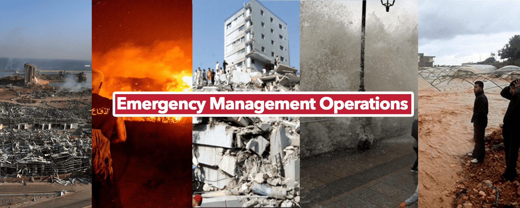
"Emergency Management Operations", Mohamad Chalhoub-Esri Lebanon

11:30-12:00

Panel: Discussing the future of sustainability using location intelligence, Moderated by Eng. Rana Habli-Esri Lebanon

12:00-12:15

Awards, recognition, and cake cutting

12:15-12:30

Social Networking

Proceedings

Capture all the innovation, inspiration, and insights from recent Esri events. Explore papers and abstracts, session videos, and presentation materials shared by peers from the global user community. Apply these success stories and best practices to your own work.

previous
Next

Event Videos

Event Facebook Live video

previous
Next

Event Posts

Check out the event posts

previous
Next

Event photos

Some photos from the event

previous
Next
An error has occurred. This application may no longer respond until reloaded. Reload 🗙