
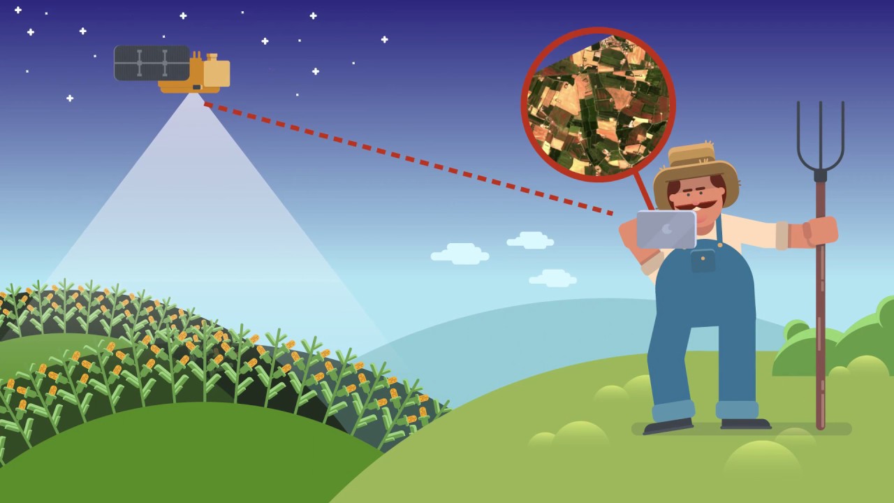
Agricultural Land Assessment
Agricultural Land Assessment using ArcGIS technology- Eng. Mohamad Ali Abed Al-Majid Fneich
View Thesis Details
Higher Education
Leading universities prepare students for meaningful careers in GIS and advance our understanding of global systems and societies through GIS education. ArcGIS is a complete, cloud-based GIS that provides a framework to identify problems, understand trends, predict change, set priorities, and evaluate results. It integrates layers of information based on location and helps people gain actionable intelligence.
Master's Degree Program
The Lebanese University - Faculty of Sciences (FS1), in collaboration with Esri Lebanon, is proud to announce the updated Master's Degree Program in Geospatial Science and Artificial Intelligence. This program is designed to equip students with cutting-edge skills and knowledge in the rapidly evolving fields of geospatial science and AI.
GIS Professional Development
Embark on a transformative learning journey with the GEO Artificial Intelligence & Big Data Certificate, a collaborative effort between ESRI Lebanon and the University of Balamand. This certification program is specifically designed for GIS professionals, providing a specialized focus on geospatial artificial intelligence and big data.
Some of the Thesis of the Master 2 in GIS and Data Science at the Lebanese University
Agricultural Land Assessment

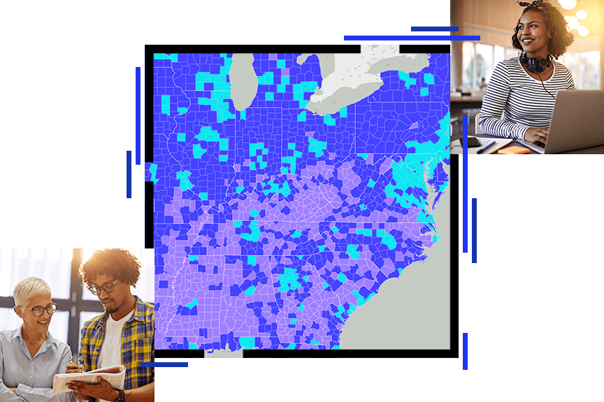
Covid 19 Predictions For Herd Immunity
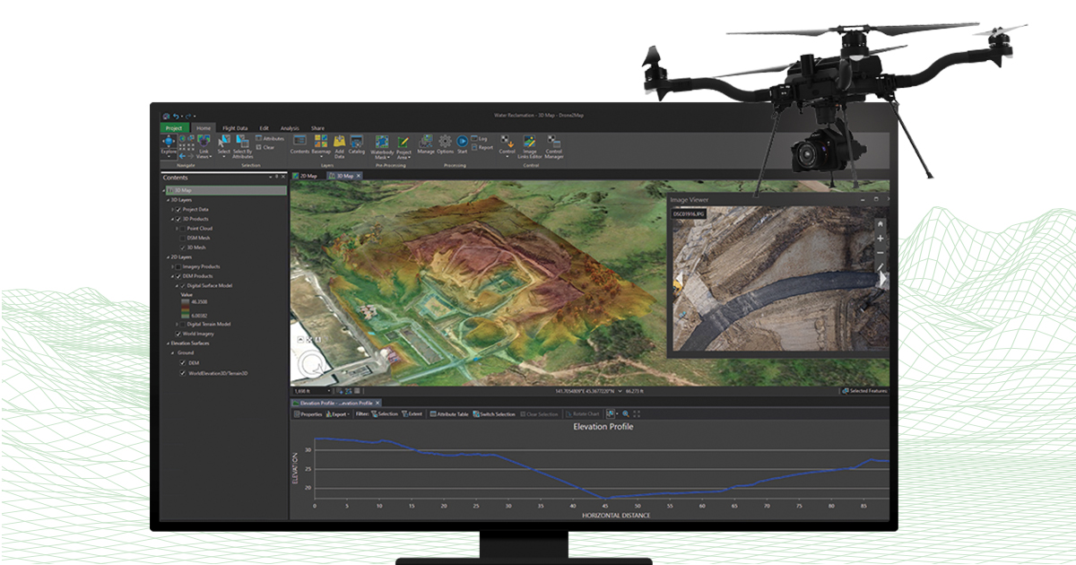
OBJECT DETECTION AND MAPPING USING DRONES
Some of the Higher Education Stories
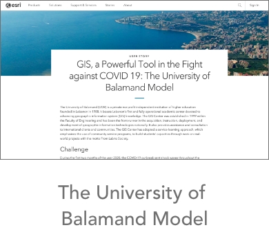
The University of Balamand Model
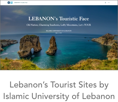
Lebanon's Tourist Sites by Islamic University of Lebanon