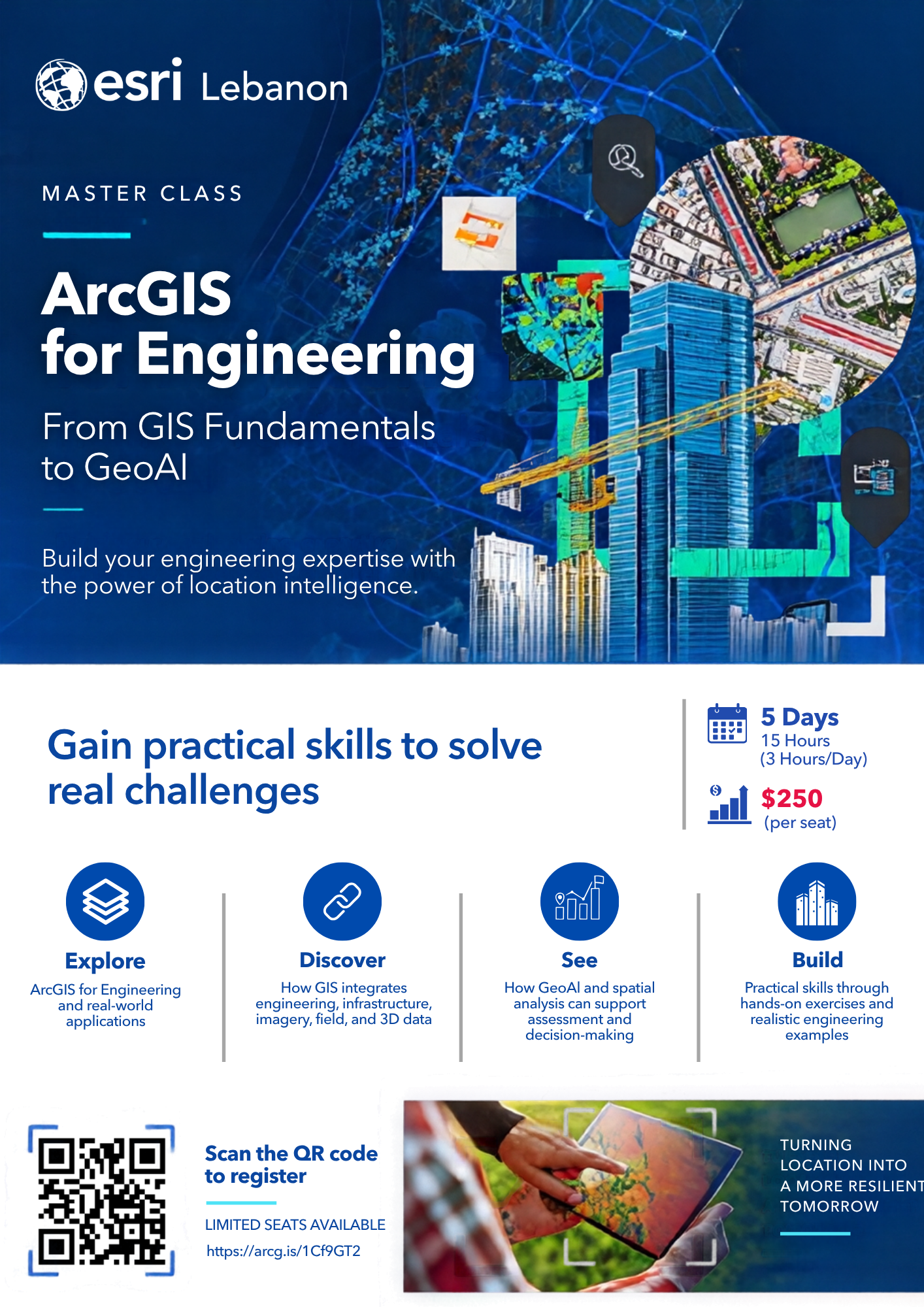
- Course Overview:
- ArcGIS for Engineering
- From GIS Fundamentals to GeoAI
- Dates & Duration:
- Starting November 25, 2026
- 5 days - 15 hours (3 hours/day)
- Location:
- Price:
- $250 per seat
- Topics Covered:
- GIS fundamentals and data management for engineers
- GIS analysis, editing, and visualization in ArcGIS Pro
- Raster, imagery, and analysis
- Introduction to GeoAI
- GeoAI applications for engineering (building extraction, damage assessment, change detection)
- Who Should Attend:
- Engineers, GIS analysts, infrastructure professionals, planners, and students applying location intelligence to engineering challenges
- Basic GIS familiarity recommended
- Why Attend:
- Explore ArcGIS for Engineering and real-world applications
- See how GIS integrates engineering, infrastructure, imagery, field, and 3D data
- Build practical skills through hands-on exercises and realistic engineering examples
- Certification:
- Certificate of completion issued by Esri Lebanon
- Seats & Deadline:
- Limited seats available
- Registration closes before the start date or when seats run out
- Instructor:
- Delivered by an Esri Lebanon Certified Instructor
- Contact:
- Email: training@esrilebanon.com
- WhatsApp: +961 3 682 245

Master Classes
Advance your skills and stay ahead in the world of geospatial technology with Esri Lebanon’s specialized training programs. From foundational GIS concepts to advanced spatial analysis, our certified courses are designed to equip professionals, students, and organizations with practical, real-world expertise in ArcGIS. Explore upcoming classes, learn from Esri Certified Instructors, and gain the knowledge to make smarter, data-driven decisions.
Explore Upcoming Classes
Browse Esri Lebanon’s upcoming training sessions and find the one that fits your goals.
previous
Next