Educational Collaboration and Innovation
News
ArcGIS updates include so many new capabilities and interface changes that you are unlikely to find them all just by wandering through the software. To help you discover the latest capabilities, we write emails about what's coming and what's new. Our development team shows you how to use the new capabilities in our tips and tricks emails and social media posts.

Educational Collaboration and Innovation
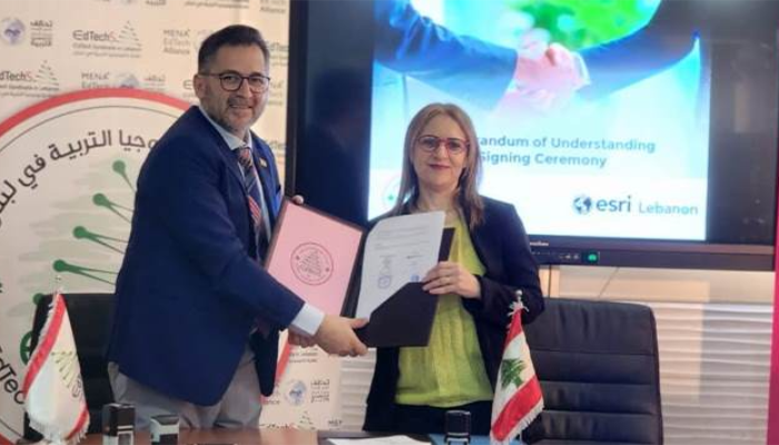
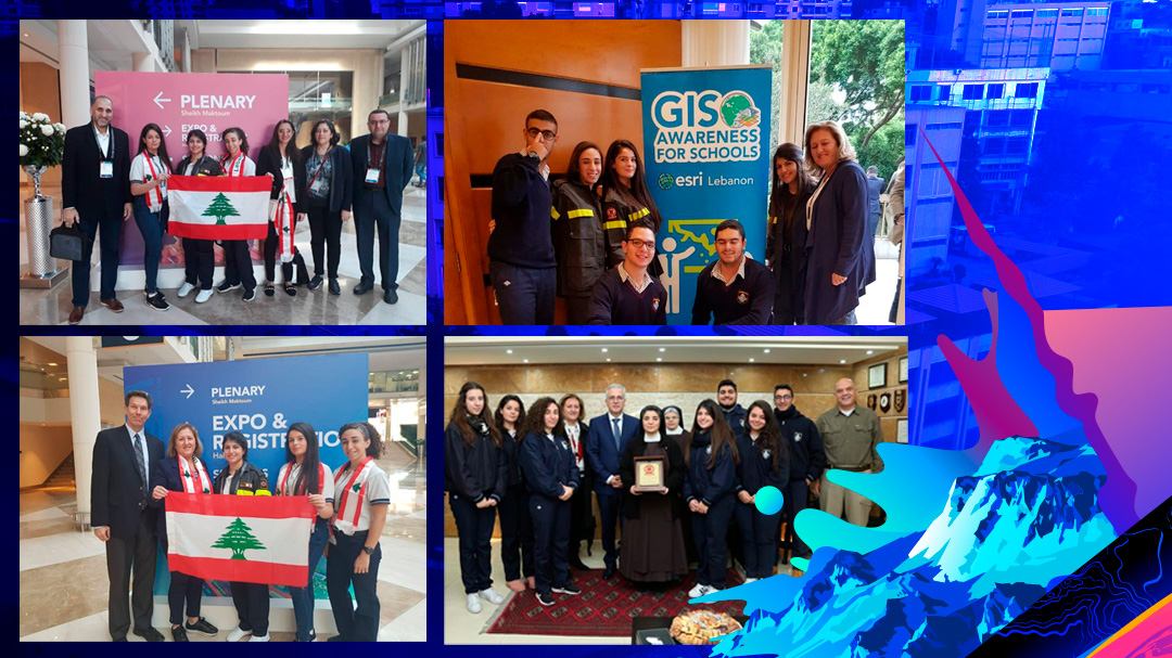
MoU between Esri Lebanon and SGEC-L
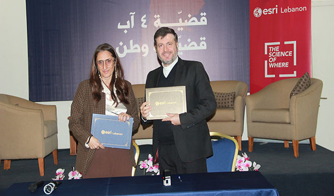
We are proud to announce the signing of an MOU with SGEC-L during the GIS Day celebration, symbolizing our joint efforts to integrate GIS into curriculum design and administration, and foster innovation in education.
This collaboration adds to our ongoing efforts to contribute to the continuous improvement of the education sector and marks a significant step in our commitment to enhancing education in Lebanon.
Lebanon Reforestation Initiative
Launching Fire Patrol App1
Fire Patrol is a mobile application that has a forecasting tool for fire danger in Lebanon allowing users to report any fire incident in his/her area in addition to the ability to report a burnt area so it can be registered and scheduled for rehabilitation.
This application also allows operators to send Push Notification Alerts to users on fire danger zones in their present location.
Fire Patrol App Features
App Features:
- This app allows you to report any fire incident in your area
- This app allows you to report burnt areas so they can be registered and scheduled for rehabilitation.
- It warns you with a Push Notification Alert in case you're in a fire danger zone.
Android & iOS compatible
Fire Patrol Analytics is a mobile app compatible with Android and iOS. It integrates with ArcGIS to provide real-time fire mapping, predictive modeling, and intelligent alerts. It facilitates data sharing and collaboration among responders, enhancing fire safety and emergency response management.
Report Fire & Report Burnt Area
- The Report Burnt Area allows you to report burnt areas so it can be registered and scheduled for rehabilitation.
- The Report Fire allows you to report any fire incident in your area.
Dashboards and Hub site
- The Hub site is the Fire Patrol hub where you can find all public information, data and a description of the FirePatrol app
- The Report Fire Location Dashboard Validate and visualize user-submitted fire locations for informed decision-making and efficient response.
- The Report Burnt Area Dashboard Efficiently manage reported burnt areas, register them, and schedule rehabilitation.
Beirut Urban Lab
Mapping Beirut's Rental Market with GIS
Beirut Urban Lab is working to address housing concerns in Beirut, Lebanon by creating the City of Tenants platform, which is a user-fed database and visualization tool that utilizes GIS technology to map information about rental arrangements in the city. This platform is intended to be used by homeowners, tenants, researchers, and housing advocates to make more informed decisions about housing. The platform utilizes several ArcGIS products such as Survey123, Experience Builder, Dashboards, and Map Viewer.
About Beirut Urban Lab's City of Tenants
The City of Tenants map is a user-fed geoportal developed by the Beirut Urban Lab at the American University of Beirut.
NEW - Esri Innovations for Local Government
A case study from Lebanon's capital in the Middle East.
Mapping Beirut's Rental Market with Esri: A Success Story from Beirut Urban Lab
"This level of automation is great for a team as small as ours, and we hope to deploy similar techniques in other survey-based research going forward." says Mona Fawaz, professor of urban studies and planning for the American University of Beirut and cofounder of Beirut Urban Lab - concerning Mapping Beirut's Rental Market project which is implemented using Esri technology
Beirut Urban Lab's City of Tenants
The City of Tenants map is a user-fed geoportal developed by the Beirut Urban Lab at the American University of Beirut.
MENA region’s first Geo-AI Academy.
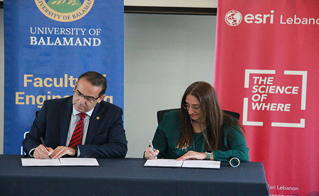
MoU between Esri Lebanon and the University of Balamand
We are pleased to announce the signing of a Memorandum of Understanding (MoU) between Esri Lebanon and the University of Balamand for the launching of the MENA region’s first Geo-Artificial Intelligence (Geo-AI) Academy.
The MoU signing took place at the University of Balamand during the GIS Day celebration.
The Geo-AI Academy is dedicated to the capacity building provided by international experts for students and GIS professionals in the field of geospatial big data and artificial intelligence. This exclusive collaboration between UOB and ESRI Lebanon crowns a long history of collaboration and achievements between them.
MOUs and Initiatives
Discover strategic partnerships and collaborative endeavors, showcasing our commitment to fostering innovation.
-
Lebanese University MOU
Memorandum of Understanding
Signing of a MoU between Lebanese University Faculty of Science and Esri LebanonView Photo -
SGEC-L MOU
Memorandum of Understanding
Signing of a MoU between General Secretariat of Catholic Schools in Lebanon and Esri LebanonView Photo -
UOB MOU
Memorandum of Understanding
Signing of a MoU between University of Balamand and Esri LebanonView Post -
EdTech MOU
Memorandum of Understanding
Signing of a MoU between EdTech and Esri LebanonView Photo -
CRDP MOU
Memorandum of Understanding
Signing of a MoU between CRDP and Esri LebanonView Photo -
OGTL MOU
Memorandum of Understanding
Signing of a MoU between OGTL and Esri LebanonView Post
previous
Next
Clients Stories
Some of our clients stories
-
Innovates Curriculum with GIS
Lebanon's Collège Notre Dame du Mont Carmel-Fanar Innovates Curriculum with GISView Story -
Manage Humanitarian Aid Projects
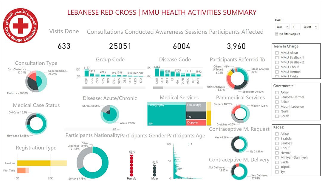
Lebanese Red Cross Uses ArcGIS Apps to Manage Humanitarian Aid ProjectsView Story -
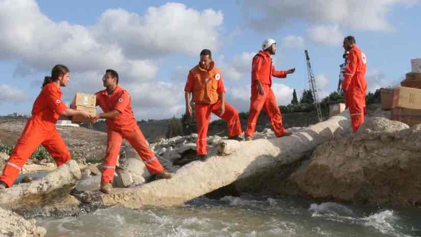
Location Intelligence to Deliver Aid and Build Trust
Lebanese Red Cross Use Location Intelligence to Deliver Aid and Build TrustView Story -
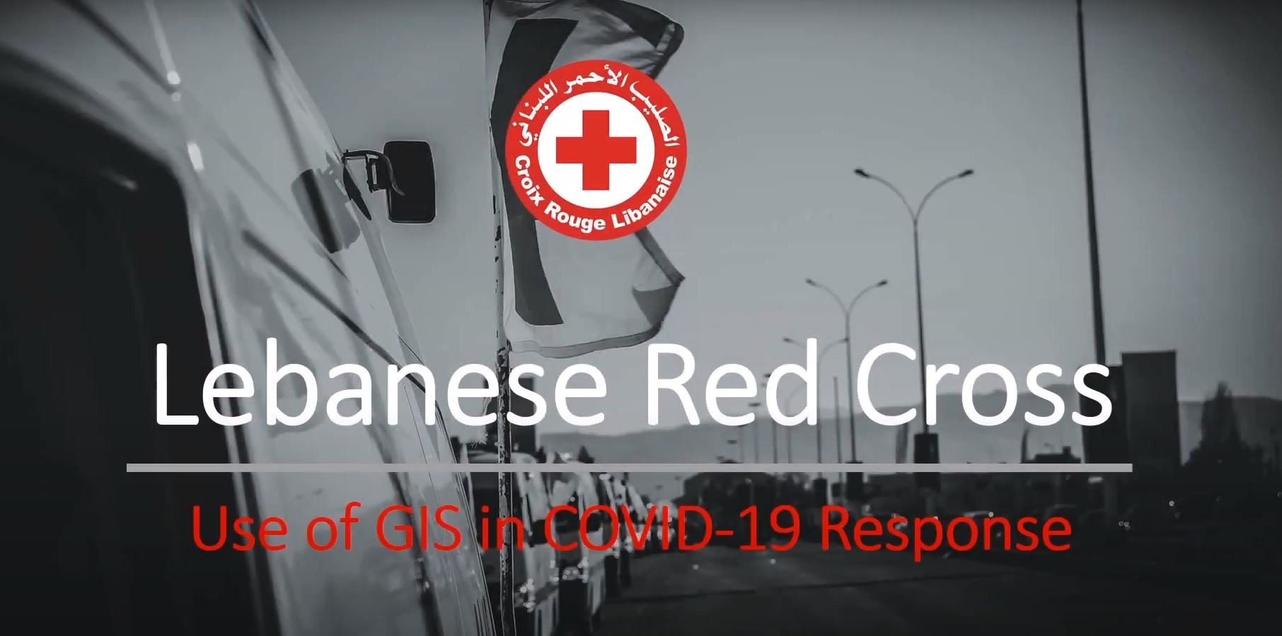
Use of GIS in COVID-19 Response
Lebanese Red Cross discuss their work to respond to COVID-19 using GIS, at the 2021 Esri Health and Human Services GIS ConferenceWatch Video -
Celebrate GIS with Heroes
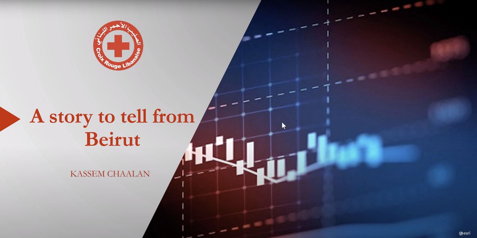
Kassem Chaalan, Lebanese Red Cross (LRC) and Rana Samara Jubayli, Nusaned – Crisis Management: A Story to tell from BeirutWatch Video -
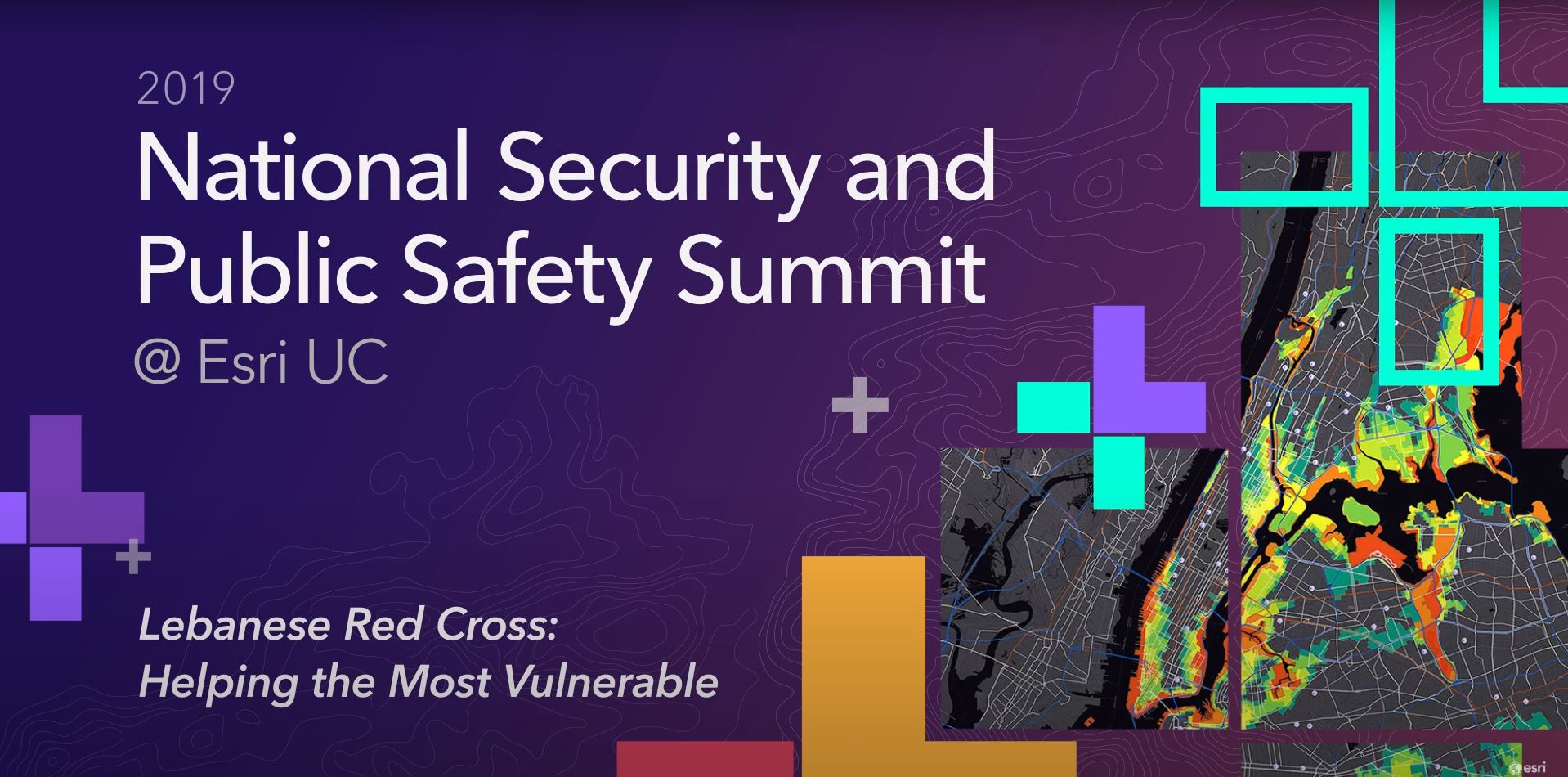
Helping the most vulnerable
How the Lebanese Red Cross adopt GIS technology in his daily operations and how the transformation to geospatial analysis improve response time for ambulance services, increasing the number of blood donation, and many more examples.Watch Video -
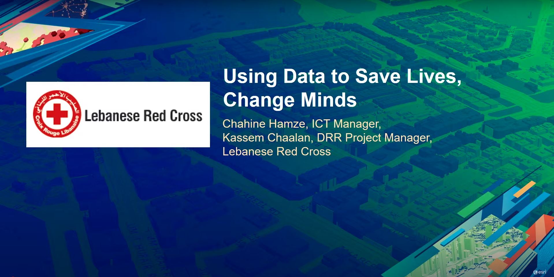
Using Data to Save Lives
The Lebanese Red Cross present how web GIS has transformed its operations and is supporting their vital work.Watch Video -

Esri Young Scholars Find the Drive to Do More
Esri hosts annual User Conference for young GIS students from around the world to showcase their work, network with professionals and learn about advanced technology.View Story
previous
Next
}